Project in Implementation

Ecological Stability and Biodiversity in the Bogovic Forest.

The goal is to strengthen ecological stability and resilience against climate extremes, as well as to significantly increase CO₂ storage capacity. With a standing timber volume of approx. 4,061 m³, the forest makes a valuable contribution to climate action and the preservation of regional biodiversity.

Location

Koprivnica-Križevci, Croatia

9.5 ha

Climate Action

480t

CO₂ Kapazität

Duration

30 Jahre

Projektbindung

Control

Satellites

Monitored

Ecological Stability and Biodiversity in the Bogovic Forest.

"Systematic close-to-nature management: We promote native species, protect watercourses, and preserve deadwood as a habitat."

1.450tTotal Storage Capacity
40tAnnual Growth
480tCertified & Released
Location

Location & Landscape

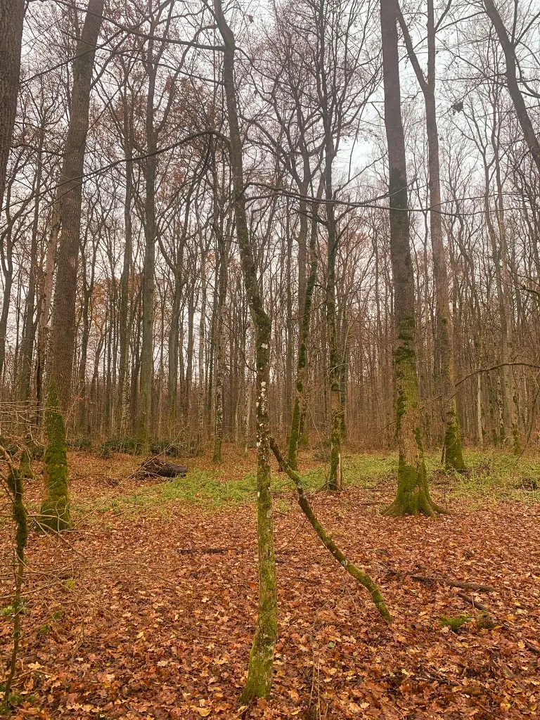
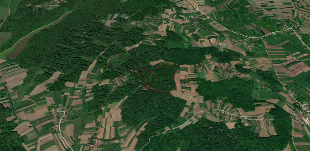
The Bogovic Forest is located in Koprivnica-Križevci County in the Croatian interior at an elevation of 150 to 190 meters. The moderately undulating terrain is structured by small streams and is subject to a continental climate with warm summers.

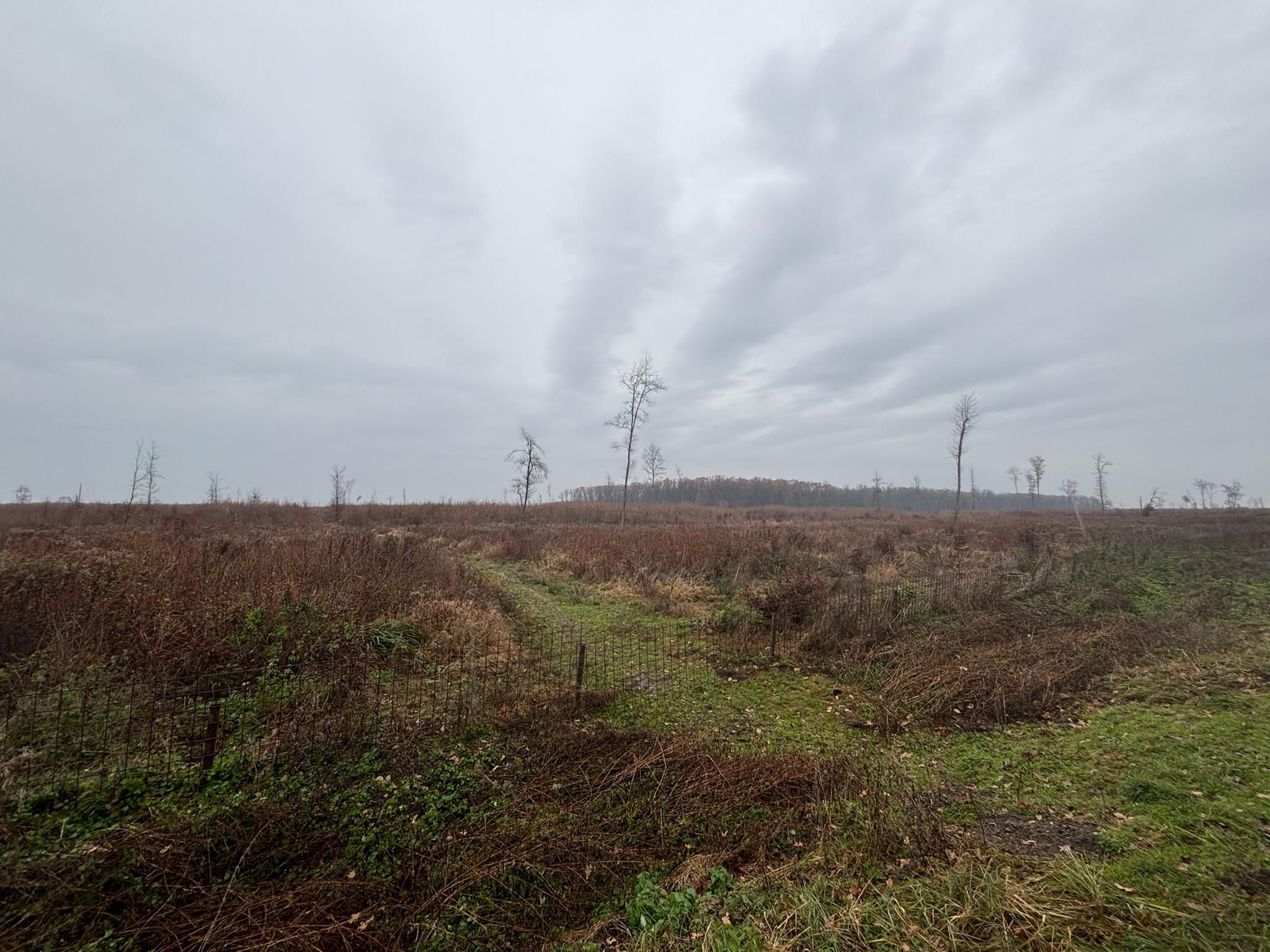
  • Soil: Predominantly Pseudogley – a moist, waterlogged soil of site class II.
  • History: Originally barley-beech forest as well as black alder-ash swamp forest in depressions.
  • Vegetation: Sessile oak-hornbeam forest and montane beech forest with a diverse shrub layer.
Map Preview
Strategie

Sustainable Strategy & Inventory

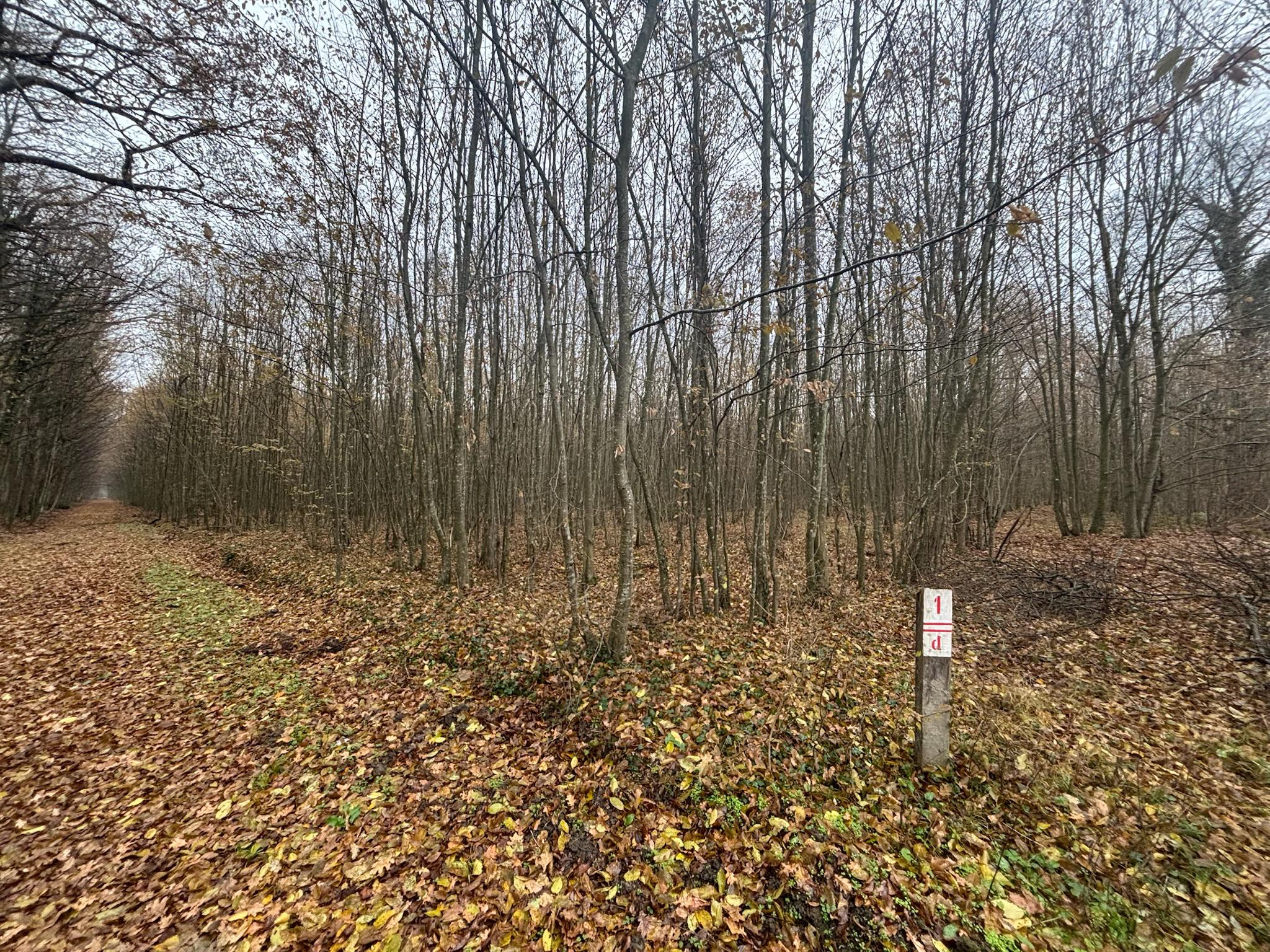
The stand (Comp. 11c & 11e) comprises sessile oak, hornbeam, and beech forest, supplemented by noble hardwoods such as wild cherry, sycamore maple, and linden. Our strategy focuses on strict nature conservation: Deadwood remains in the forest, heavy machinery is prohibited on wet soils, and riparian zones enjoy a protective buffer of at least five meters. We use exclusively certified planting material of native species, remove invasive woody plants, and protect habitat trees to ensure natural regeneration.

Permanent Satellite Monitoring

In cooperation with Remote Sensing Solutions GmbH (RSS), we monitor all our forests permanently. If a forest fire or deforestation is detected, tokens are immediately locked.

Forest Satellite View

Your Project, Your Questions

Everything worth knowing about methodology and participation.

How is the protection of the forest monitored?
In cooperation with Remote Sensing Solutions GmbH (RSS), we monitor the forest permanently via satellite. If a forest fire or illegal logging is detected, an immediate warning system is triggered. This is supplemented by regular on-site audits.
Which concrete measures promote biodiversity?
We deliberately leave wood residues and stumps as deadwood in the forest. In addition, 75% of fruit-bearing trees as well as trees with cavities or inhabited by bats remain standing. Interventions during the breeding season (May 15 to August 15) are strictly regulated.
How is CO₂ sequestration calculated?
We only certify the timber usage quota of the forest and thus only the portion that flows into long-term wood usage. The calculation is based on scientific methods, satellite imagery, and annual growth rates (ex-post).